Clay County HP
NE
Elevation: 1,907'
Rise: 35'
County: Clay
Quad: Trumbull
Line Parent: 7189
Proximate Parent: Moore Benchmark
Clay County Highpoint
Isolation: 165.24 miles
YDS Class: 2 Suggest Revision
Add ascent
Weather Forecast
Snow Depth
Images:
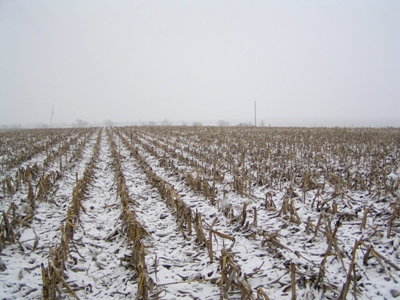 John Kirk 04-20-2010 | 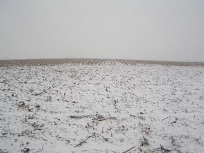 John Kirk 04-20-2010 |
Submit another Image
Trip Reports:
Submit a Trip Report
Links: peakbagger.com
Ascents:
9 members have reported ascents...
log in to view ascents